TYPE:
SENSOR
LAYER:
DS_PHR1A_202006061541235_FR1_PX_W079S01_0621_03357
FORMAT:
DIMAP
RASTER:
image/tiff
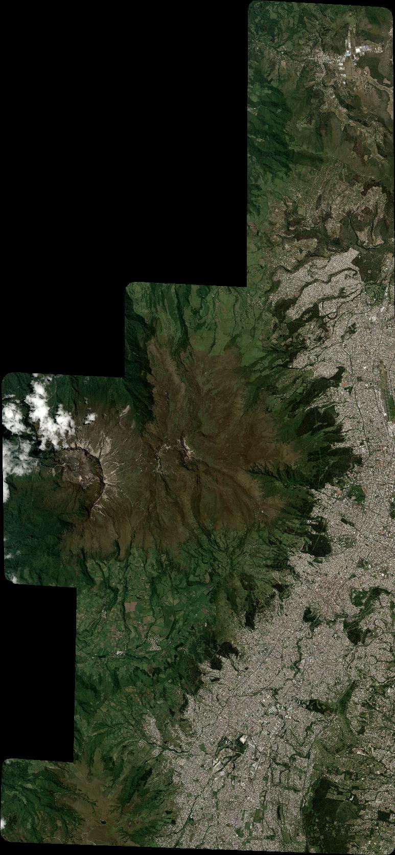
General Information
Map Name
Geometric Processing Level
Radiometric Processing Level
BASIC
Image dimensions
Number of columns
8511
Number of rows
18420
Number of spectral bands
4
Dataset framing
Vertice
Longitude (DEG)
Latitude (DEG)
Row
Col
#1
-78.64707003323927
0.01595316587214929
1
#2
-78.48411604954276
0.0248673420282589
#3
-78.48487693964466
-0.3298811353211434
#4
-78.64443551920535
-0.3359835948716215
Dataset sources
PHR
Coordinate Reference System
Projected Coordinate System
Geocoding tables identification
EPSG(6.3)
Production
Production Date
2020-08-05T17:04:18.785
Job identification
5226221101-2
Dataset Producer Identification
AIRBUS DS GEO
Producer link
http://www.geo-airbusds.com
Quicklook
Copyright