TYPE:
SENSOR
LAYER:
DS_PHR1A_202006061542032_FR1_PX_W079N00_0601_00847
FORMAT:
DIMAP
RASTER:
image/tiff
General Information
Map Name
Geometric Processing Level
Radiometric Processing Level
BASIC
Image dimensions
Number of columns
8761
Number of rows
4541
Number of spectral bands
4
Dataset framing
Vertice
Longitude (DEG)
Latitude (DEG)
Row
Col
#1
-78.64493330176464
-0.3022534625037006
1
#2
-78.48731801431467
-0.3029984140167234
#3
-78.48713694539724
-0.3845602697405879
#4
-78.64421696290022
-0.3844044573693333
Dataset sources
PHR
Coordinate Reference System
Projected Coordinate System
Geocoding tables identification
EPSG(6.3)
Production
Production Date
2020-08-05T17:25:39.072
Job identification
5226220101-2
Dataset Producer Identification
AIRBUS DS GEO
Producer link
http://www.geo-airbusds.com
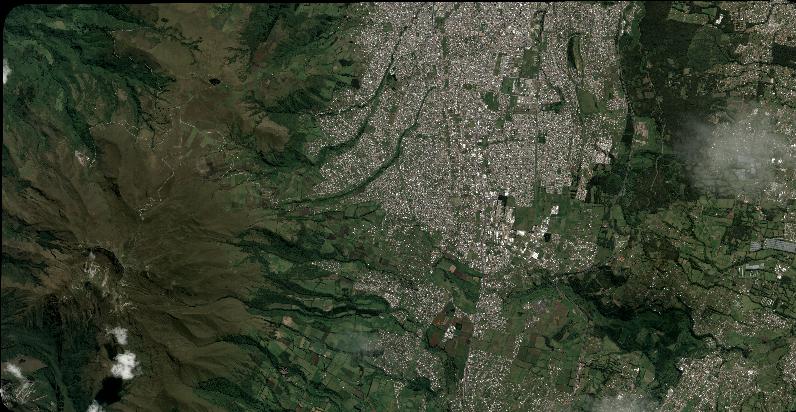
Quicklook
Copyright