TYPE:
SENSOR
LAYER:
DS_PHR1A_202006061542189_FR1_PX_W079N00_0601_00838
FORMAT:
DIMAP
RASTER:
image/tiff
General Information
Map Name
Geometric Processing Level
Radiometric Processing Level
BASIC
Image dimensions
Number of columns
34618
Number of rows
17219
Number of spectral bands
1
Dataset framing
Vertice
Longitude (DEG)
Latitude (DEG)
Row
Col
#1
-78.64464281529013
-0.3018257962928653
#2
-78.48550092071649
-0.3029711961641236
#3
-78.48551645572697
-0.3846593258030838
#4
-78.64432252101386
-0.3845744500534132
Dataset sources
PHR
Coordinate Reference System
Projected Coordinate System
Geocoding tables identification
EPSG(6.3)
Production
Production Date
2020-08-05T17:30:51.401
Job identification
5226219101-1
Dataset Producer Identification
AIRBUS DS GEO
Producer link
http://www.geo-airbusds.com
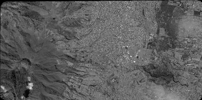
Quicklook
Copyright