TYPE:
SENSOR
LAYER:
DS_PHR1A_202006061542189_FR1_PX_W079N00_0601_00838
FORMAT:
DIMAP
RASTER:
image/tiff
General Information
Map Name
Geometric Processing Level
Radiometric Processing Level
BASIC
Image dimensions
Number of columns
8656
Number of rows
4305
Number of spectral bands
4
Dataset framing
Vertice
Longitude (DEG)
Latitude (DEG)
Row
Col
#1
-78.64464632836334
-0.3018349182240398
1
#2
-78.48549028112055
-0.3029810506985403
#3
-78.48550558707657
-0.3846601298925932
#4
-78.64432558454797
-0.3845751712282967
Dataset sources
PHR
Coordinate Reference System
Projected Coordinate System
Geocoding tables identification
EPSG(6.3)
Production
Production Date
2020-08-05T17:10:01.464
Job identification
5226219101-2
Dataset Producer Identification
AIRBUS DS GEO
Producer link
http://www.geo-airbusds.com
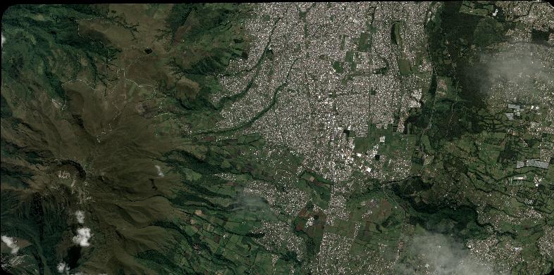
Quicklook
Copyright