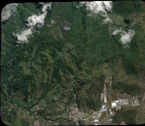
TYPE:
SENSOR
LAYER:
DS_PHR1A_202006061541575_FR1_PX_W079N00_0601_00520
FORMAT:
DIMAP
RASTER:
image/tiff
General Information
Map Name
Geometric Processing Level
Radiometric Processing Level
BASIC
Image dimensions
Number of columns
3171
Number of rows
2751
Number of spectral bands
4
Dataset framing
Vertice
Longitude (DEG)
Latitude (DEG)
Row
Col
#1
-78.54478723539873
0.04556319384044115
1
#2
-78.48716960957988
0.04447950782123627
#3
-78.48720386629711
-0.005068658928451021
#4
-78.54438535469014
-0.004403078220897715
Dataset sources
PHR
Coordinate Reference System
Projected Coordinate System
Geocoding tables identification
EPSG(6.3)
Production
Production Date
2020-08-05T16:43:57.499
Job identification
5226217101-2
Dataset Producer Identification
AIRBUS DS GEO
Producer link
http://www.geo-airbusds.com
Quicklook
Copyright