TYPE:
SENSOR
LAYER:
DS_PHR1A_202006061541232_FR1_PX_W079N00_0601_00506
FORMAT:
DIMAP
RASTER:
image/tiff
General Information
Map Name
Geometric Processing Level
Radiometric Processing Level
BASIC
Image dimensions
Number of columns
3157
Number of rows
2735
Number of spectral bands
4
Dataset framing
Vertice
Longitude (DEG)
Latitude (DEG)
Row
Col
#1
-78.54494170619195
0.04439734505560075
1
#2
-78.48474323979504
0.04758315157456324
#3
-78.48479444957172
-0.00446542435219003
#4
-78.54436861031631
-0.006856659432320819
Dataset sources
PHR
Coordinate Reference System
Projected Coordinate System
Geocoding tables identification
EPSG(6.3)
Production
Production Date
2020-08-05T17:28:21.776
Job identification
5226215101-2
Dataset Producer Identification
AIRBUS DS GEO
Producer link
http://www.geo-airbusds.com
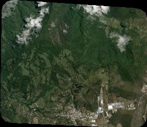
Quicklook
Copyright