TYPE:
SENSOR
LAYER:
DS_PHR1A_202005091047559_FR1_PX_E004N45_0319_08507
FORMAT:
DIMAP
RASTER:
image/jp2
General Information
Map Name
Geometric Processing Level
Radiometric Processing Level
BASIC
Image dimensions
Number of columns
39840
Number of rows
191044
Number of spectral bands
1
Dataset framing
Vertice
Longitude (DEG)
Latitude (DEG)
Row
Col
#1
4.109722228901361
46.20870623963843
#2
4.372346764867038
46.21116713942986
#3
4.369744790106461
45.33068989505512
#4
4.110805725893466
45.3302752118482
Dataset sources
PHR
Coordinate Reference System
Projected Coordinate System
Geocoding tables identification
EPSG(6.3)
Production
Production Date
2020-08-05T13:47:58.129
Job identification
5225981101-1
Dataset Producer Identification
AIRBUS DS GEO
Producer link
http://www.geo-airbusds.com
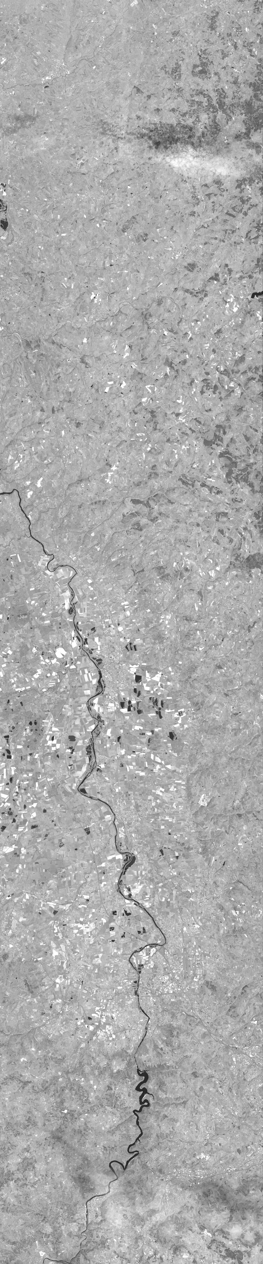
Quicklook
Copyright