TYPE:
SENSOR
LAYER:
DS_PHR1A_202005091047559_FR1_PX_E004N45_0319_08507
FORMAT:
DIMAP
RASTER:
image/jp2
General Information
Map Name
Geometric Processing Level
Radiometric Processing Level
BASIC
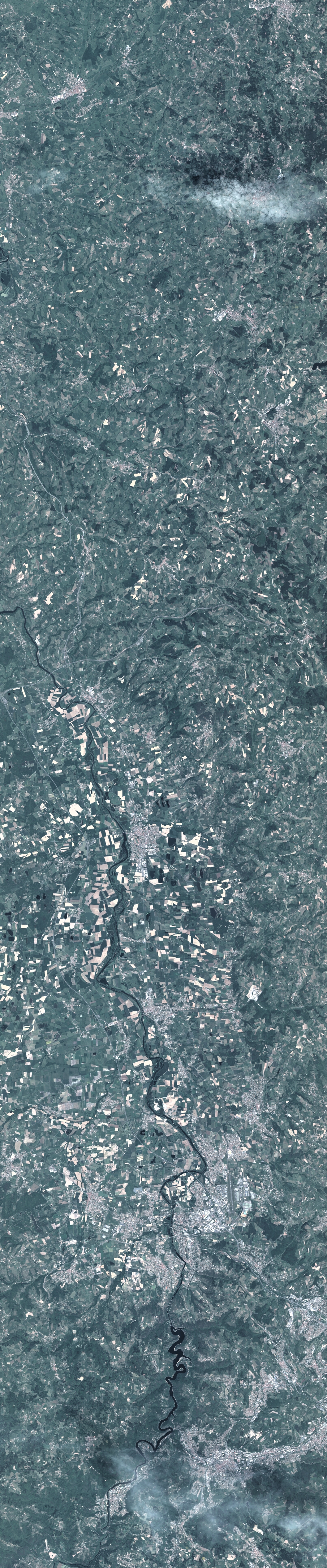
Image dimensions
Number of columns
9961
Number of rows
47761
Number of spectral bands
4
Dataset framing
Vertice
Longitude (DEG)
Latitude (DEG)
Row
Col
#1
4.109731705623079
46.20869956190449
1
#2
4.372362630039128
46.211160283639
#3
4.369761092695006
45.33069703933625
#4
4.110815527666941
45.33028233565273
Dataset sources
PHR
Coordinate Reference System
Projected Coordinate System
Geocoding tables identification
EPSG(6.3)
Production
Production Date
2020-08-05T13:38:35.183
Job identification
5225981101-2
Dataset Producer Identification
AIRBUS DS GEO
Producer link
http://www.geo-airbusds.com
Quicklook
Copyright