TYPE:
ORTHO
LAYER:
DS_PHR1B_202004051059226_FR1_PX_E003N46_0907_00664
FORMAT:
DIMAP
RASTER:
image/tiff
General Information
Map Name
Geometric Processing Level
Radiometric Processing Level
BASIC
Image dimensions
Number of columns
19491
Number of rows
15889
Number of spectral bands
1
Dataset framing
Vertice
Longitude (DEG)
Latitude (DEG)
Row
Col
#1
3.656267193720171
46.28658164011891
#2
3.782762847995149
46.28578558407037
#3
3.781746481408368
46.21429666251107
#4
3.655415042063043
46.21509074591307
Dataset sources
PHR
Coordinate Reference System
Projected Coordinate System
Geocoding tables identification
EPSG(6.3)
Projected Coordinate System name
32631
Projected Coordinate System code
urn:ogc:def:crs:EPSG::32631
Geoposition
Upper - Left Map X Coordinate
550553.25
Upper - Left Map Y Coordinate
5126098.75
Image sampling
0.5 x 0.5
Production
Production Date
2020-09-04T04:38:23.242
Job identification
5300765101-1
Dataset Producer Identification
AIRBUS DS GEO
Producer link
http://www.geo-airbusds.com
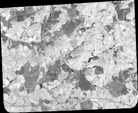
Quicklook
Copyright