TYPE:
ORTHO
LAYER:
DS_PHR1A_202002101447114_FR1_PX_W062N16_0711_01622
FORMAT:
DIMAP
RASTER:
image/tiff
General Information
Map Name
Geometric Processing Level
Radiometric Processing Level
BASIC
Image dimensions
Number of columns
9020
Number of rows
9998
Number of spectral bands
4
Dataset framing
Vertice
Longitude (DEG)
Latitude (DEG)
Row
Col
#1
-61.53001294624956
16.53305364271728
1
#2
-61.36102793076535
16.53179490375609
#3
-61.3625434060288
16.35112270659357
#4
-61.53137231439194
16.35236693684465
Dataset sources
PHR
Coordinate Reference System
Projected Coordinate System
Geocoding tables identification
EPSG(6.3)
Projected Coordinate System name
32620
Projected Coordinate System code
urn:ogc:def:crs:EPSG::32620
Geoposition
Upper - Left Map X Coordinate
656867
Upper - Left Map Y Coordinate
1828473
Image sampling
2 x 2
Production
Production Date
2020-10-15T16:14:27.025
Job identification
5413942101-2
Dataset Producer Identification
AIRBUS DS GEO
Producer link
http://www.geo-airbusds.com
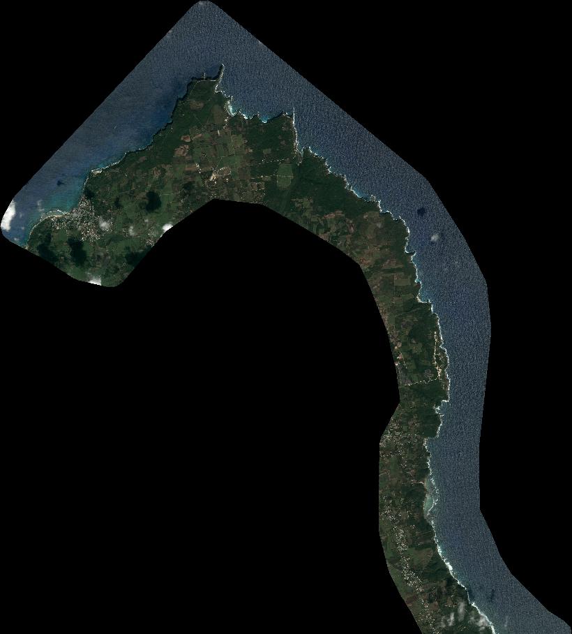
Quicklook
Copyright