TYPE:
SENSOR
LAYER:
DS_PHR1A_202002091548472_FR1_PX_W079N00_0701_00554
FORMAT:
DIMAP
RASTER:
image/tiff
General Information
Map Name
Geometric Processing Level
Radiometric Processing Level
BASIC
Image dimensions
Number of columns
7145
Number of rows
2883
Number of spectral bands
4
Dataset framing
Vertice
Longitude (DEG)
Latitude (DEG)
Row
Col
#1
-78.51141465095913
0.05084693829413075
1
#2
-78.37549068480338
0.04455027857771097
#3
-78.37498163949223
-0.01322831024573291
#4
-78.51230480350911
-0.004113584232587814
Dataset sources
PHR
Coordinate Reference System
Projected Coordinate System
Geocoding tables identification
EPSG(6.3)
Production
Production Date
2020-08-05T17:15:07.430
Job identification
5226212101-2
Dataset Producer Identification
AIRBUS DS GEO
Producer link
http://www.geo-airbusds.com
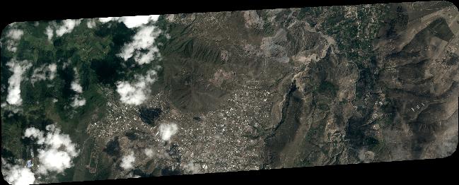
Quicklook
Copyright