TYPE:
ORTHO
LAYER:
DS_PHR1B_202002021458532_FR1_PX_W066N18_0508_01988
FORMAT:
DIMAP
RASTER:
image/tiff
General Information
Map Name
Geometric Processing Level
Radiometric Processing Level
BASIC
Image dimensions
Number of columns
9145
Number of rows
11399
Number of spectral bands
4
Dataset framing
Vertice
Longitude (DEG)
Latitude (DEG)
Row
Col
#1
-65.74082987525276
18.3989584065169
1
#2
-65.5678697747267
18.40137465951861
#3
-65.56483736058104
18.19554399435023
#4
-65.73759381412574
18.19315661730262
Dataset sources
PHR
Coordinate Reference System
Projected Coordinate System
Geocoding tables identification
EPSG(6.3)
Projected Coordinate System name
32620
Projected Coordinate System code
urn:ogc:def:crs:EPSG::32620
Geoposition
Upper - Left Map X Coordinate
210419
Upper - Left Map Y Coordinate
2036513
Image sampling
2 x 2
Production
Production Date
2020-10-15T16:07:06.375
Job identification
5413933101-2
Dataset Producer Identification
AIRBUS DS GEO
Producer link
http://www.geo-airbusds.com
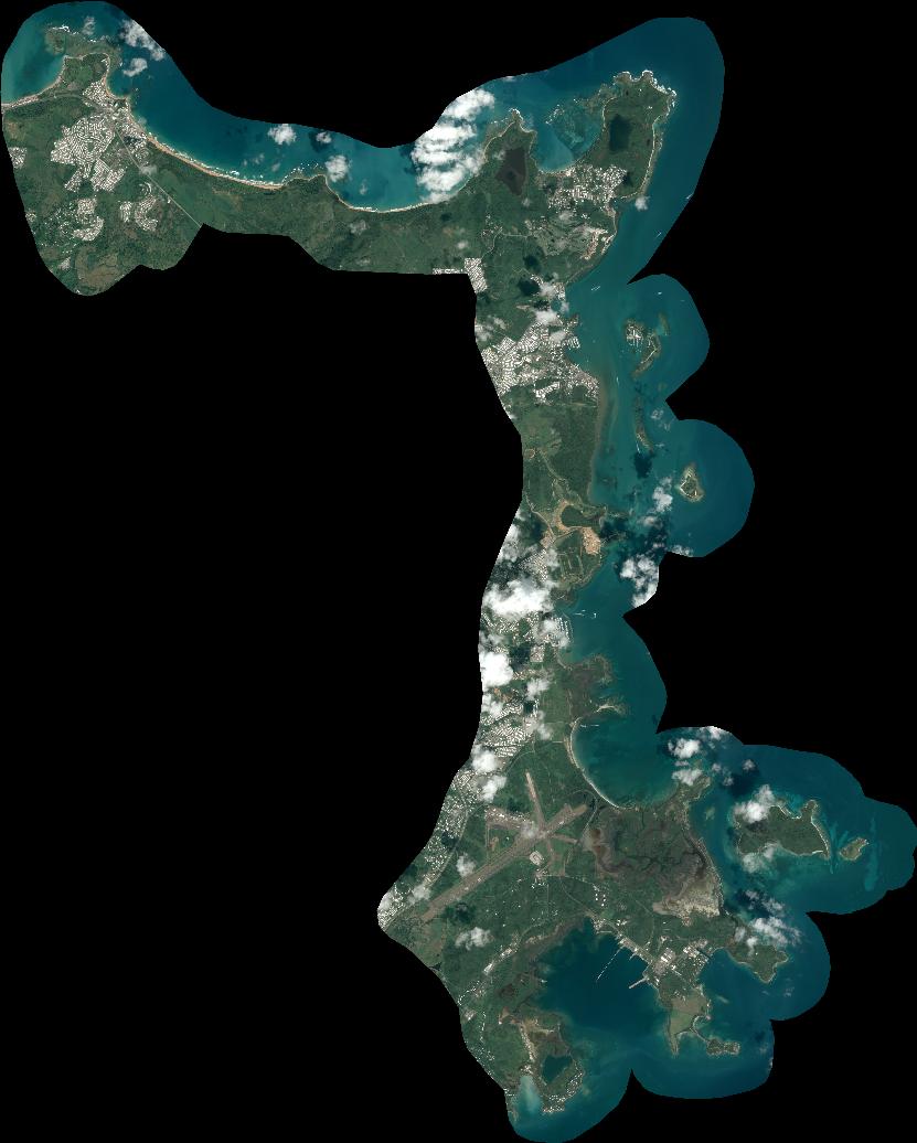
Quicklook
Copyright