TYPE:
ORTHO
LAYER:
DS_PHR1B_202002021458246_FR1_PX_W063N18_0103_00585
FORMAT:
DIMAP
RASTER:
image/tiff
General Information
Map Name
Geometric Processing Level
Radiometric Processing Level
BASIC
Image dimensions
Number of columns
25000
Number of rows
13079
Number of spectral bands
1
Dataset framing
Vertice
Longitude (DEG)
Latitude (DEG)
Row
Col
#1
-63.07586100502694
18.13420076657075
#2
-62.95769848187397
18.13421106457865
#3
-62.95771265946937
18.07510805469688
#4
-63.0758355797983
18.07509779250715
Dataset sources
PHR
Coordinate Reference System
Projected Coordinate System
Geocoding tables identification
EPSG(6.3)
Projected Coordinate System name
32620
Projected Coordinate System code
urn:ogc:def:crs:EPSG::32620
Geoposition
Upper - Left Map X Coordinate
491975.25
Upper - Left Map Y Coordinate
2005034.75
Image sampling
0.5 x 0.5
Production
Production Date
2020-10-15T15:52:21.531
Job identification
5413932101-1
Dataset Producer Identification
AIRBUS DS GEO
Producer link
http://www.geo-airbusds.com
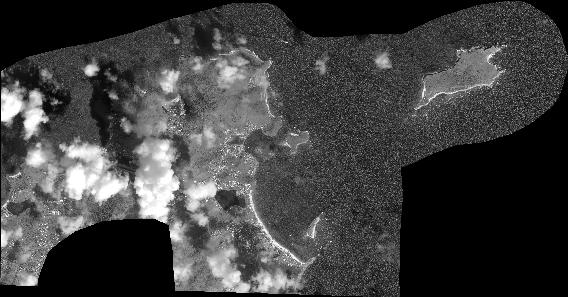
Quicklook
Copyright