TYPE:
ORTHO
LAYER:
DS_PHR1B_202001311513400_FR1_PX_W068N18_1105_01056
FORMAT:
DIMAP
RASTER:
image/tiff
General Information
Map Name
Geometric Processing Level
Radiometric Processing Level
BASIC
Image dimensions
Number of columns
3935
Number of rows
5957
Number of spectral bands
4
Dataset framing
Vertice
Longitude (DEG)
Latitude (DEG)
Row
Col
#1
-67.2006512369211
18.23701133623282
1
#2
-67.12626703463076
18.23629811162714
#3
-67.12741593902003
18.12868971801563
#4
-67.2017545928198
18.12939844910943
Dataset sources
PHR
Coordinate Reference System
Projected Coordinate System
Geocoding tables identification
EPSG(6.3)
Projected Coordinate System name
32619
Projected Coordinate System code
urn:ogc:def:crs:EPSG::32619
Geoposition
Upper - Left Map X Coordinate
690253
Upper - Left Map Y Coordinate
2017343
Image sampling
2 x 2
Production
Production Date
2020-10-15T16:06:56.572
Job identification
5413935101-2
Dataset Producer Identification
AIRBUS DS GEO
Producer link
http://www.geo-airbusds.com
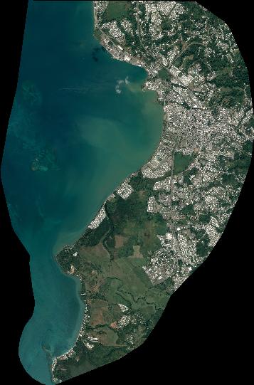
Quicklook
Copyright