TYPE:
SENSOR
LAYER:
DS_PHR1A_202001281541425_FR1_PX_W079S01_0723_01890
FORMAT:
DIMAP
RASTER:
image/tiff
General Information
Map Name
Geometric Processing Level
Radiometric Processing Level
BASIC
Image dimensions
Number of columns
9053
Number of rows
10486
Number of spectral bands
4
Dataset framing
Vertice
Longitude (DEG)
Latitude (DEG)
Row
Col
#1
-78.50844420741745
-0.1402168537494577
1
#2
-78.34548981904142
-0.1394850442435524
#3
-78.34504945011302
-0.3270238136794196
#4
-78.50817426859842
-0.3284865747630459
Dataset sources
PHR
Coordinate Reference System
Projected Coordinate System
Geocoding tables identification
EPSG(6.3)
Production
Production Date
2020-08-05T16:55:26.152
Job identification
5226211101-2
Dataset Producer Identification
AIRBUS DS GEO
Producer link
http://www.geo-airbusds.com
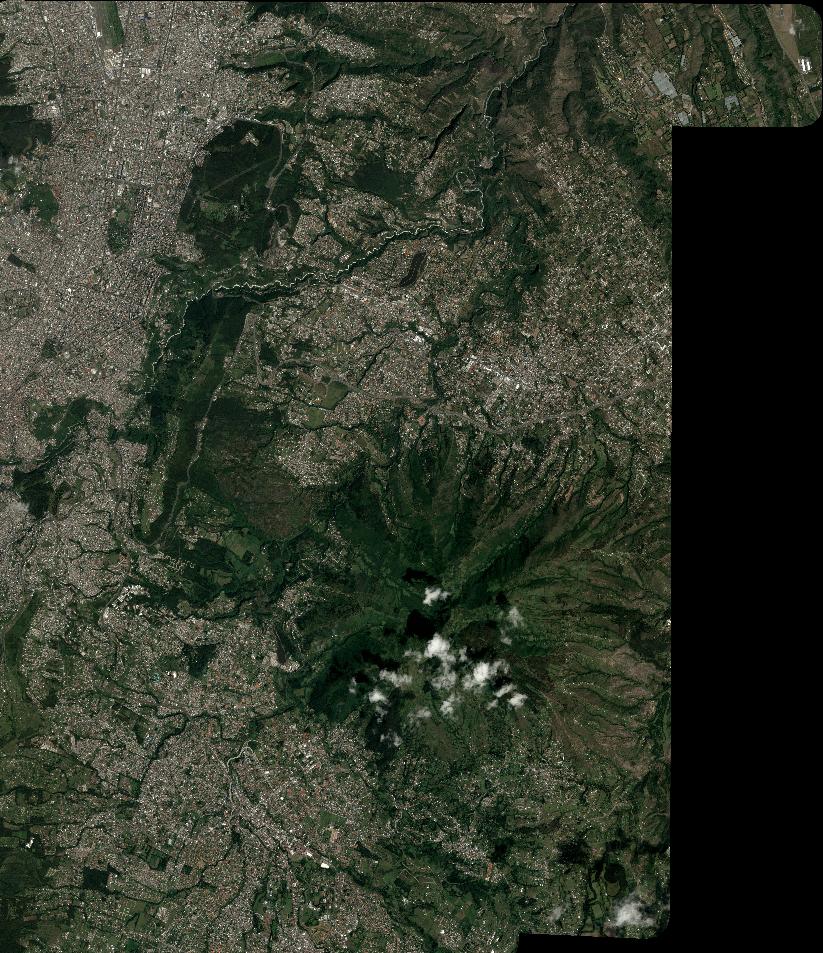
Quicklook
Copyright