TYPE:
SENSOR
LAYER:
DS_PHR1A_202001281542169_FR1_PX_W079S01_0723_01793
FORMAT:
DIMAP
RASTER:
image/tiff
General Information
Map Name
Geometric Processing Level
Radiometric Processing Level
BASIC
Image dimensions
Number of columns
35720
Number of rows
39298
Number of spectral bands
1
Dataset framing
Vertice
Longitude (DEG)
Latitude (DEG)
Row
Col
#1
-78.51109514660129
-0.1403851526161935
#2
-78.34549836041138
-0.1402308254224189
#3
-78.34567406186615
-0.3308296883636491
#4
-78.5112165844059
-0.3298950035866742
Dataset sources
PHR
Coordinate Reference System
Projected Coordinate System
Geocoding tables identification
EPSG(6.3)
Production
Production Date
2020-08-05T17:00:01.926
Job identification
5226210101-1
Dataset Producer Identification
AIRBUS DS GEO
Producer link
http://www.geo-airbusds.com
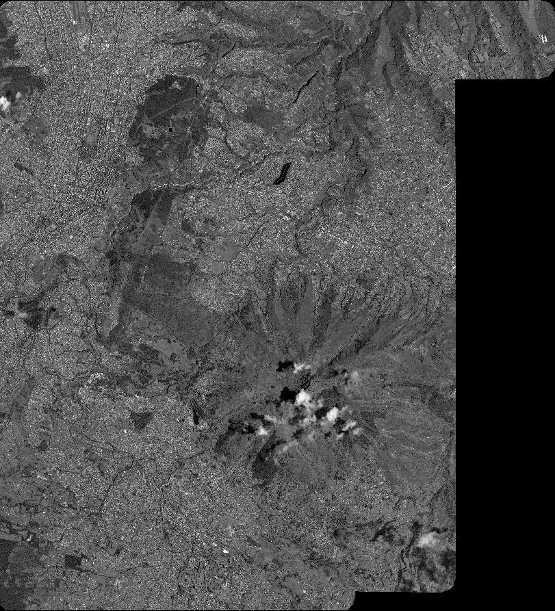
Quicklook
Copyright