TYPE:
ORTHO
LAYER:
DS_PHR1B_202001281448059_FR1_PX_W061N14_0118_01427
FORMAT:
DIMAP
RASTER:
image/tiff
General Information
Map Name
Geometric Processing Level
Radiometric Processing Level
BASIC
Image dimensions
Number of columns
33868
Number of rows
32386
Number of spectral bands
1
Dataset framing
Vertice
Longitude (DEG)
Latitude (DEG)
Row
Col
#1
-61.01754919704541
14.81847790567297
#2
-60.86027415457303
14.81706968248019
#3
-60.86170318429018
14.67076894070306
#4
-61.01887336381644
14.6721626527052
Dataset sources
PHR
Coordinate Reference System
Projected Coordinate System
Geocoding tables identification
EPSG(6.3)
Projected Coordinate System name
32620
Projected Coordinate System code
urn:ogc:def:crs:EPSG::32620
Geoposition
Upper - Left Map X Coordinate
713344.25
Upper - Left Map Y Coordinate
1639193.25
Image sampling
0.5 x 0.5
Production
Production Date
2020-10-15T16:19:14.328
Job identification
5413930101-1
Dataset Producer Identification
AIRBUS DS GEO
Producer link
http://www.geo-airbusds.com
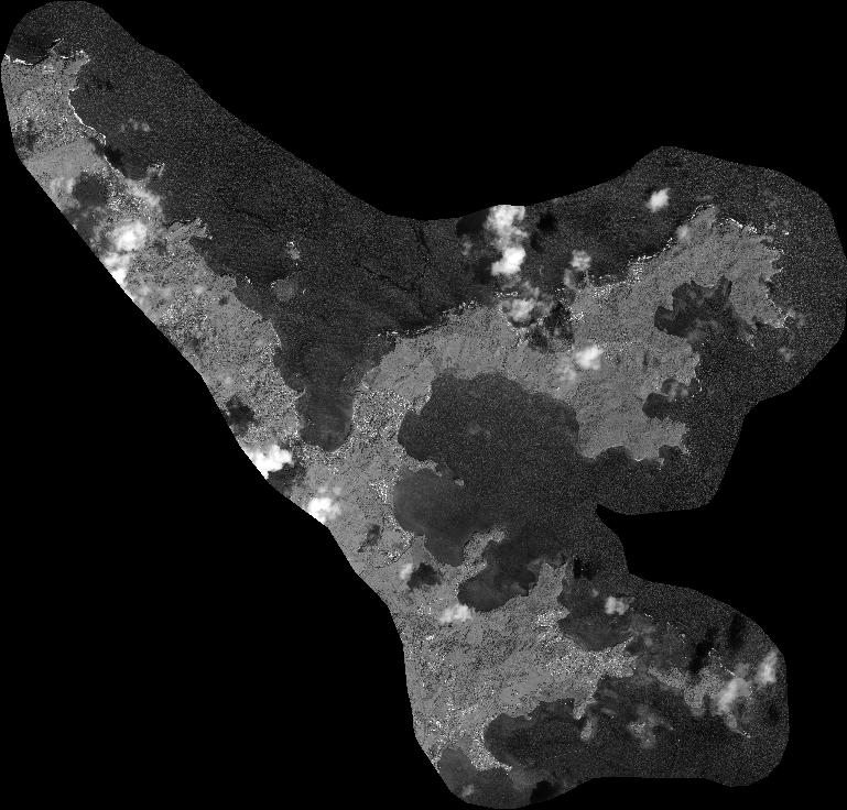
Quicklook
Copyright