TYPE:
ORTHO
LAYER:
DS_PHR1B_202001281448059_FR1_PX_W061N14_0118_01427
FORMAT:
DIMAP
RASTER:
image/tiff
General Information
Map Name
Geometric Processing Level
Radiometric Processing Level
BASIC
Image dimensions
Number of columns
8467
Number of rows
8097
Number of spectral bands
4
Dataset framing
Vertice
Longitude (DEG)
Latitude (DEG)
Row
Col
#1
-61.01754225138502
14.81847558669529
1
#2
-60.86028114223827
14.81706748846925
#3
-60.86171012318584
14.67077126357136
#4
-61.01886638191313
14.67216485234022
Dataset sources
PHR
Coordinate Reference System
Projected Coordinate System
Geocoding tables identification
EPSG(6.3)
Projected Coordinate System name
32620
Projected Coordinate System code
urn:ogc:def:crs:EPSG::32620
Geoposition
Upper - Left Map X Coordinate
713345
Upper - Left Map Y Coordinate
1639193
Image sampling
2 x 2
Production
Production Date
2020-10-15T16:06:48.328
Job identification
5413930101-2
Dataset Producer Identification
AIRBUS DS GEO
Producer link
http://www.geo-airbusds.com
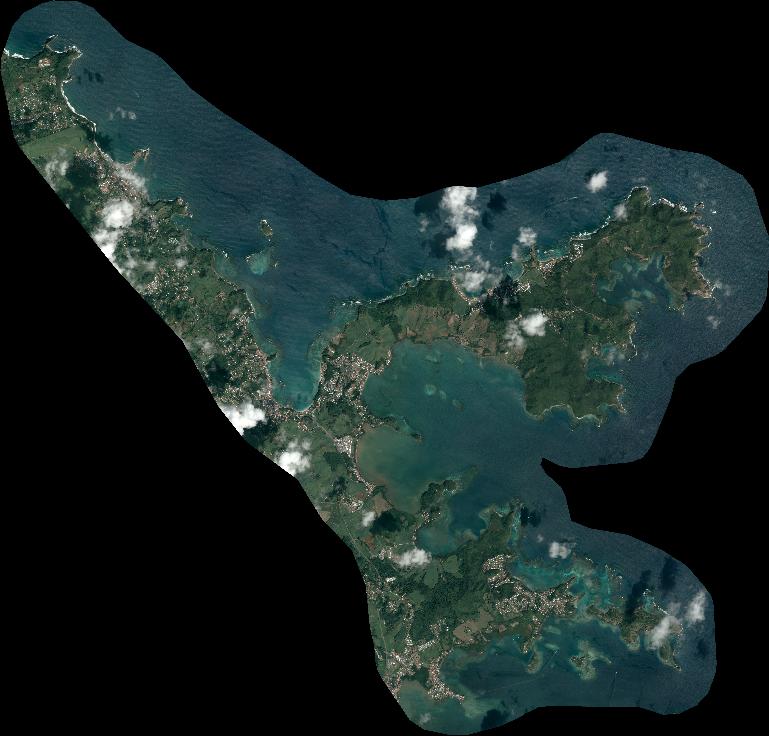
Quicklook
Copyright