TYPE:
SYSTEM_ORTHO
LAYER:
DS_PHR1B_202001261502501_FR1_PX_W066N18_0303_01791
FORMAT:
DIMAP
RASTER:
image/tiff
General Information
Map Name
Geometric Processing Level
Radiometric Processing Level
BASIC
Image dimensions
Number of columns
8550
Number of rows
10102
Number of spectral bands
4
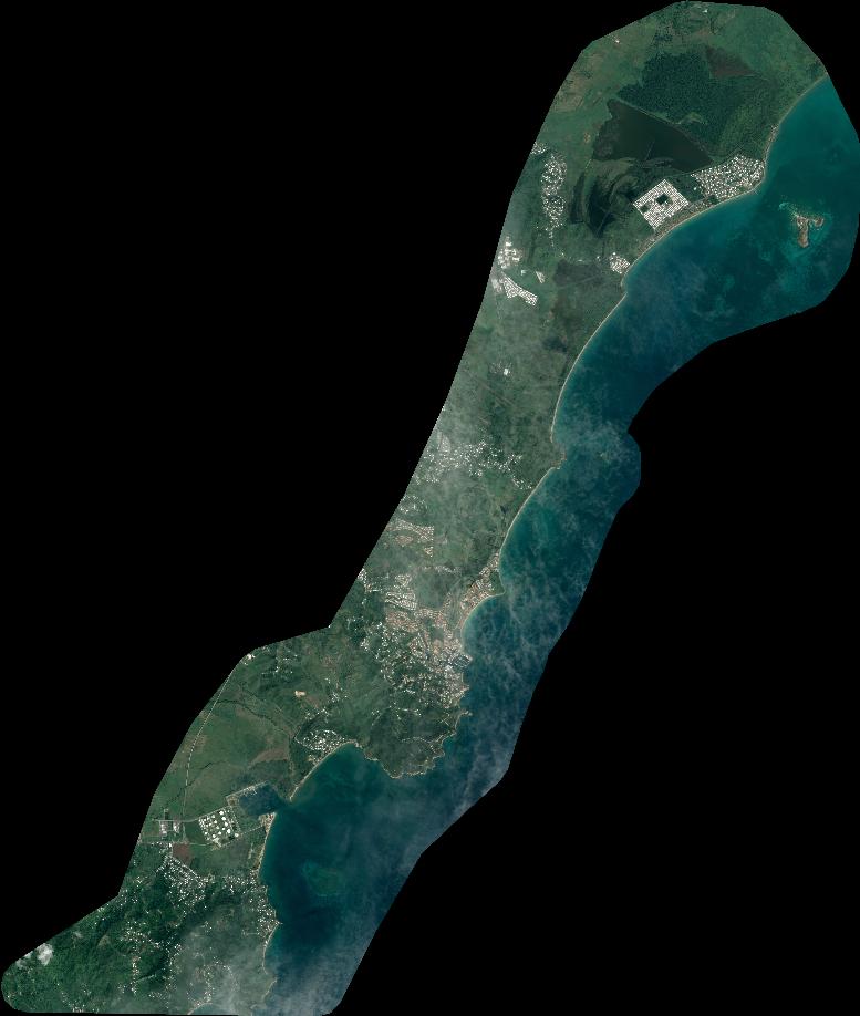
Dataset framing
Vertice
Longitude (DEG)
Latitude (DEG)
Row
Col
#1
-65.88514342644359
18.19552709202401
1
#2
-65.72364674208285
18.19788827897397
#3
-65.72082822742307
18.01549888385205
#4
-65.88215833861031
18.01316294623099
Dataset sources
PHR
Coordinate Reference System
Projected Coordinate System
Geocoding tables identification
EPSG(6.3)
Projected Coordinate System name
32620
Projected Coordinate System code
urn:ogc:def:crs:EPSG::32620
Geoposition
Upper - Left Map X Coordinate
194805
Upper - Left Map Y Coordinate
2014219
Image sampling
2 x 2
Production
Production Date
2020-10-16T06:46:32.187
Job identification
5413966201-2
Dataset Producer Identification
AIRBUS DS GEO
Producer link
http://www.geo-airbusds.com
Quicklook
Copyright