TYPE:
SYSTEM_ORTHO
LAYER:
DS_PHR1A_202001261552048_FR1_PX_W079N18_0909_01494
FORMAT:
DIMAP
RASTER:
image/tiff
General Information
Map Name
Geometric Processing Level
Radiometric Processing Level
BASIC
Image dimensions
Number of columns
21678
Number of rows
33393
Number of spectral bands
1
Dataset framing
Vertice
Longitude (DEG)
Latitude (DEG)
Row
Col
#1
-78.37288558737357
18.41158884272216
#2
-78.27037533933124
18.41014307663575
#3
-78.27274149760974
18.25941120301682
#4
-78.37516313905296
18.26084431733596
Dataset sources
PHR
Coordinate Reference System
Projected Coordinate System
Geocoding tables identification
EPSG(6.3)
Projected Coordinate System name
32617
Projected Coordinate System code
urn:ogc:def:crs:EPSG::32617
Geoposition
Upper - Left Map X Coordinate
777539.25
Upper - Left Map Y Coordinate
2037733.75
Image sampling
0.5 x 0.5
Production
Production Date
2020-10-16T06:59:53.894
Job identification
5413929201-1
Dataset Producer Identification
AIRBUS DS GEO
Producer link
http://www.geo-airbusds.com
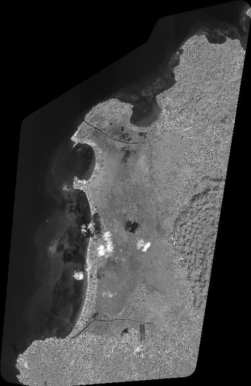
Quicklook
Copyright