TYPE:
ORTHO
LAYER:
DS_PHR1A_202001201459053_FR1_PX_W067N17_1023_00658
FORMAT:
DIMAP
RASTER:
image/tiff
General Information
Map Name
Geometric Processing Level
Radiometric Processing Level
BASIC
Image dimensions
Number of columns
22404
Number of rows
14925
Number of spectral bands
1
Dataset framing
Vertice
Longitude (DEG)
Latitude (DEG)
Row
Col
#1
-66.24721144429755
17.97385803593131
#2
-66.14154333952567
17.97232881350194
#3
-66.1426254233721
17.90496640812956
#4
-66.24825365241682
17.90648952121226
Dataset sources
PHR
Coordinate Reference System
Projected Coordinate System
Geocoding tables identification
EPSG(6.3)
Projected Coordinate System name
32619
Projected Coordinate System code
urn:ogc:def:crs:EPSG::32619
Geoposition
Upper - Left Map X Coordinate
791551.75
Upper - Left Map Y Coordinate
1989455.75
Image sampling
0.5 x 0.5
Production
Production Date
2020-10-15T15:39:51.322
Job identification
5413894101-1
Dataset Producer Identification
AIRBUS DS GEO
Producer link
http://www.geo-airbusds.com
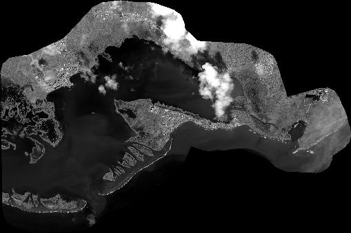
Quicklook
Copyright