TYPE:
ORTHO
LAYER:
DS_PHR1A_202001201459053_FR1_PX_W067N17_1023_00658
FORMAT:
DIMAP
RASTER:
image/tiff
General Information
Map Name
Geometric Processing Level
Radiometric Processing Level
BASIC
Image dimensions
Number of columns
5602
Number of rows
3732
Number of spectral bands
4
Dataset framing
Vertice
Longitude (DEG)
Latitude (DEG)
Row
Col
#1
-66.2472186246701
17.97385136526588
1
#2
-66.14154580675284
17.97232207775453
#3
-66.14262788923226
17.90495967219001
#4
-66.24826082965917
17.90648285009268
Dataset sources
PHR
Coordinate Reference System
Projected Coordinate System
Geocoding tables identification
EPSG(6.3)
Projected Coordinate System name
32619
Projected Coordinate System code
urn:ogc:def:crs:EPSG::32619
Geoposition
Upper - Left Map X Coordinate
791551
Upper - Left Map Y Coordinate
1989455
Image sampling
2 x 2
Production
Production Date
2020-10-15T15:39:16.615
Job identification
5413894101-2
Dataset Producer Identification
AIRBUS DS GEO
Producer link
http://www.geo-airbusds.com
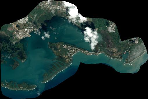
Quicklook
Copyright