TYPE:
ORTHO
LAYER:
DS_PHR1B_202001161440135_FR1_PX_W062N16_0508_01837
FORMAT:
DIMAP
RASTER:
image/tiff
General Information
Map Name
Geometric Processing Level
Radiometric Processing Level
BASIC
Image dimensions
Number of columns
42185
Number of rows
41568
Number of spectral bands
1
Dataset framing
Vertice
Longitude (DEG)
Latitude (DEG)
Row
Col
#1
-61.71245215413177
16.39630841391041
#2
-61.51497995913599
16.39500632445575
#3
-61.51639445179014
16.2071836242483
#4
-61.71367868923703
16.20846999582836
Dataset sources
PHR
Coordinate Reference System
Projected Coordinate System
Geocoding tables identification
EPSG(6.3)
Projected Coordinate System name
32620
Projected Coordinate System code
urn:ogc:def:crs:EPSG::32620
Geoposition
Upper - Left Map X Coordinate
637491.75
Upper - Left Map Y Coordinate
1813209.75
Image sampling
0.5 x 0.5
Production
Production Date
2020-10-15T16:01:31.405
Job identification
5413899101-1
Dataset Producer Identification
AIRBUS DS GEO
Producer link
http://www.geo-airbusds.com
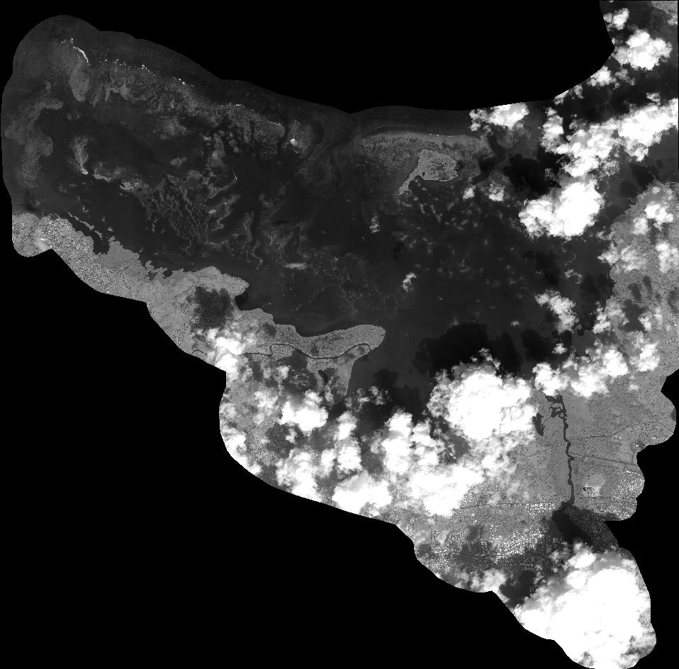
Quicklook
Copyright