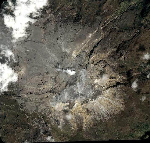
TYPE:
SENSOR
LAYER:
DS_PHR1A_202001091536144_FR1_PX_W076N04_0922_00959
FORMAT:
DIMAP
RASTER:
image/jp2
General Information
Map Name
Geometric Processing Level
Radiometric Processing Level
BASIC
Image dimensions
Number of columns
5416
Number of rows
5164
Number of spectral bands
4
Dataset framing
Vertice
Longitude (DEG)
Latitude (DEG)
Row
Col
#1
-75.36804448334671
4.93916389062694
1
#2
-75.26729578857702
4.937866473606703
#3
-75.26712906462305
4.837492633242642
#4
-75.36812365347117
4.840760066955878
Dataset sources
PHR
Coordinate Reference System
Projected Coordinate System
Geocoding tables identification
EPSG(6.3)
Production
Production Date
2020-01-27T15:02:55.175
Job identification
4778978101-002
Dataset Producer Identification
AIRBUS DS GEO
Producer link
http://www.geo-airbusds.com
Quicklook
Copyright