TYPE:
SENSOR
LAYER:
DS_PHR1A_202001051100249_FR1_PX_E002N43_0407_01746
FORMAT:
DIMAP
RASTER:
image/jp2
General Information
Map Name
Geometric Processing Level
Radiometric Processing Level
BASIC
Image dimensions
Number of columns
36888
Number of rows
38761
Number of spectral bands
1
Dataset framing
Vertice
Longitude (DEG)
Latitude (DEG)
Row
Col
#1
2.171936251995588
43.35852497767664
#2
2.420698703223231
43.3671503103204
#3
2.422472119858384
43.18318727140137
#4
2.172245955651539
43.17558019905336
Dataset sources
PHR
Coordinate Reference System
Projected Coordinate System
Geocoding tables identification
EPSG(6.3)
Production
Production Date
2020-01-07T15:33:07.739
Job identification
4748041101-001
Dataset Producer Identification
AIRBUS DS GEO
Producer link
http://www.geo-airbusds.com
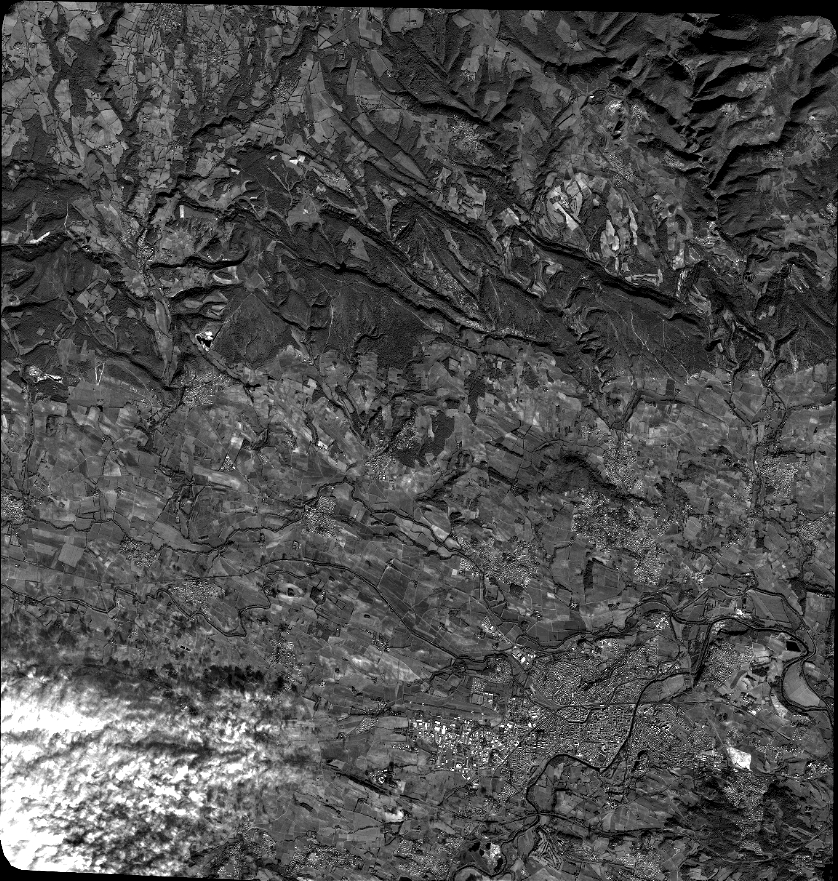
Quicklook
Copyright