TYPE:
SENSOR
LAYER:
DS_PHR1B_202001011408588_FR1_PX_W053N05_0403_01605
FORMAT:
DIMAP
RASTER:
image/jp2
General Information
Map Name
Geometric Processing Level
Radiometric Processing Level
BASIC
Image dimensions
Number of columns
7478
Number of rows
8892
Number of spectral bands
4
Dataset framing
Vertice
Longitude (DEG)
Latitude (DEG)
Row
Col
#1
-52.78013312761405
5.175846118998499
1
#2
-52.63981272233374
5.172353156001896
#3
-52.63979202919027
5.007797787691827
#4
-52.78030494543233
5.011928825598071
Dataset sources
PHR
Coordinate Reference System
Projected Coordinate System
Geocoding tables identification
EPSG(6.3)
Production
Production Date
2020-01-06T16:03:22.433
Job identification
4745615101-002
Dataset Producer Identification
AIRBUS DS GEO
Producer link
http://www.geo-airbusds.com
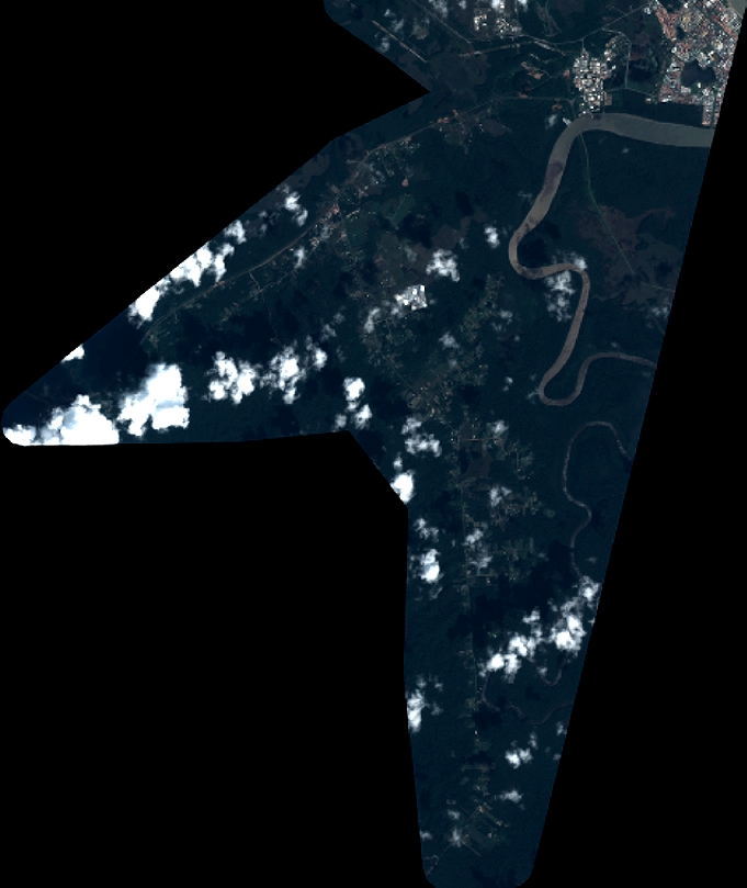
Quicklook
Copyright