TYPE:
SENSOR
LAYER:
DS_PHR1B_202001011041240_FR1_PX_E002N43_0605_03294
FORMAT:
DIMAP
RASTER:
image/jp2
General Information
Map Name
Geometric Processing Level
Radiometric Processing Level
BASIC
Image dimensions
Number of columns
37476
Number of rows
73588
Number of spectral bands
1
Dataset framing
Vertice
Longitude (DEG)
Latitude (DEG)
Row
Col
#1
2.367004811052363
43.37183141582214
#2
2.620149375134882
43.36081998059143
#3
2.618599336984861
43.01042534862213
#4
2.369546530071812
43.01823008524653
Dataset sources
PHR
Coordinate Reference System
Projected Coordinate System
Geocoding tables identification
EPSG(6.3)
Production
Production Date
2020-01-06T14:45:43.844
Job identification
4745366101-001
Dataset Producer Identification
AIRBUS DS GEO
Producer link
http://www.geo-airbusds.com
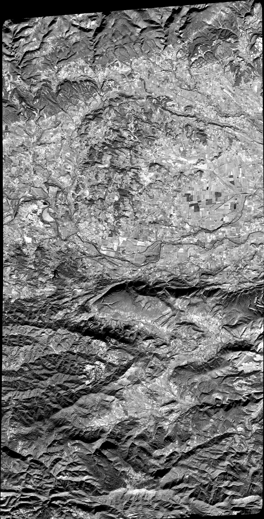
Quicklook
Copyright