TYPE:
SENSOR
LAYER:
DS_PHR1B_202001011041240_FR1_PX_E002N43_0605_03294
FORMAT:
DIMAP
RASTER:
image/jp2
General Information
Map Name
Geometric Processing Level
Radiometric Processing Level
BASIC
Image dimensions
Number of columns
9370
Number of rows
18397
Number of spectral bands
4
Dataset framing
Vertice
Longitude (DEG)
Latitude (DEG)
Row
Col
#1
2.367000292805708
43.37182516153624
1
#2
2.620153745608687
43.36081243615165
#3
2.618601716052617
43.0104332697633
#4
2.369541491233202
43.01823854845881
Dataset sources
PHR
Coordinate Reference System
Projected Coordinate System
Geocoding tables identification
EPSG(6.3)
Production
Production Date
2020-01-06T14:44:50.164
Job identification
4745366101-002
Dataset Producer Identification
AIRBUS DS GEO
Producer link
http://www.geo-airbusds.com
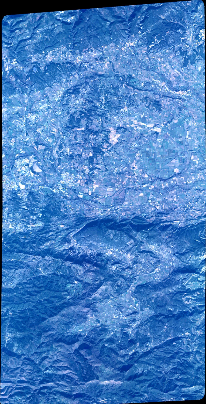
Quicklook
Copyright