TYPE:
ORTHO
LAYER:
DS_PHR1B_202001011544377_FR1_PX_W077N18_0401_00818
FORMAT:
DIMAP
RASTER:
image/tiff
General Information
Map Name
Geometric Processing Level
Radiometric Processing Level
BASIC
Image dimensions
Number of columns
4778
Number of rows
4516
Number of spectral bands
4
Dataset framing
Vertice
Longitude (DEG)
Latitude (DEG)
Row
Col
#1
-76.7765804421294
17.98209330716394
1
#2
-76.68638173793381
17.98289885823752
#3
-76.6856088699991
17.90131498462864
#4
-76.775766287793
17.90051332887026
Dataset sources
PHR
Coordinate Reference System
Projected Coordinate System
Geocoding tables identification
EPSG(6.3)
Projected Coordinate System name
32618
Projected Coordinate System code
urn:ogc:def:crs:EPSG::32618
Geoposition
Upper - Left Map X Coordinate
311883
Upper - Left Map Y Coordinate
1989105
Image sampling
2 x 2
Production
Production Date
2020-10-15T15:59:32.890
Job identification
5413893101-2
Dataset Producer Identification
AIRBUS DS GEO
Producer link
http://www.geo-airbusds.com
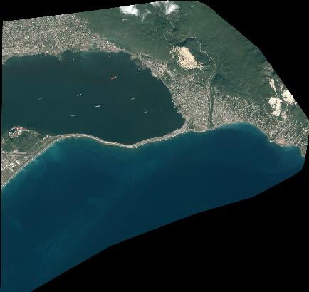
Quicklook
Copyright