TYPE:
SENSOR
LAYER:
DS_PHR1A_201912251458339_FR1_PX_W063N17_0223_01285
FORMAT:
DIMAP
RASTER:
image/jp2
General Information
Map Name
Geometric Processing Level
Radiometric Processing Level
BASIC
Image dimensions
Number of columns
8203
Number of rows
7105
Number of spectral bands
4
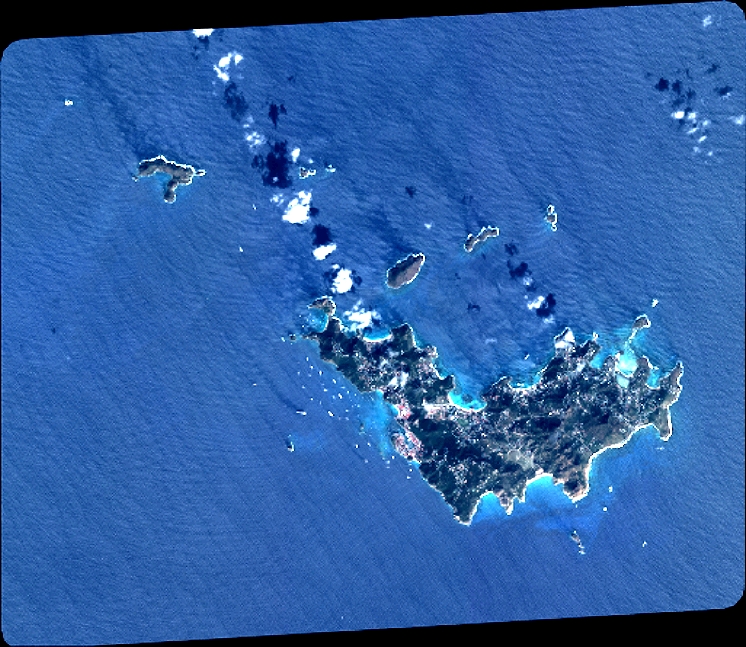
Dataset framing
Vertice
Longitude (DEG)
Latitude (DEG)
Row
Col
#1
-62.9407314218639
17.99625810241027
1
#2
-62.77480215930385
17.98748201977135
#3
-62.77470157088932
17.84866998410994
#4
-62.94089086919302
17.85818736742497
Dataset sources
PHR
Coordinate Reference System
Projected Coordinate System
Geocoding tables identification
EPSG(6.3)
Production
Production Date
2020-01-06T14:30:32.179
Job identification
4745232101-002
Dataset Producer Identification
AIRBUS DS GEO
Producer link
http://www.geo-airbusds.com
Quicklook
Copyright