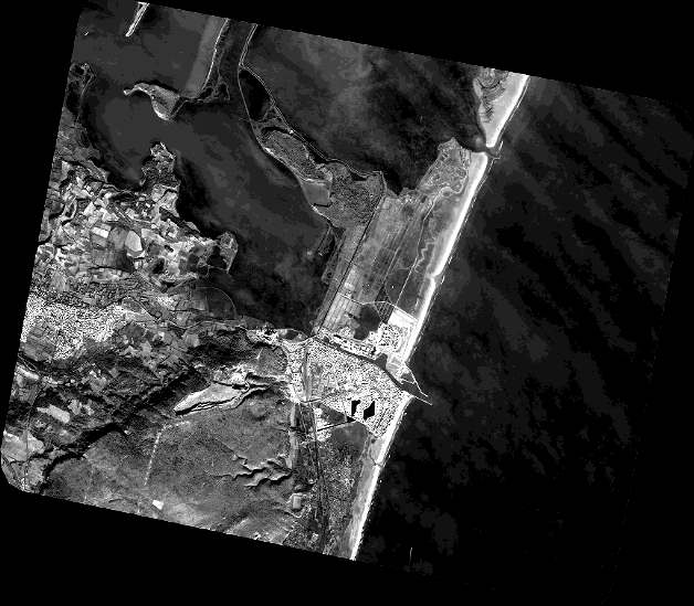
TYPE:

SENSOR

LAYER:

DS_PHR1A_201912241052466_FR1_PX_E003N43_0101_01092

FORMAT:

DIMAP

RASTER:

image/jp2


General Information


Map Name

DS_PHR1A_201912241052466_FR1_PX_E003N43_0101_01092

Geometric Processing Level

SENSOR

Radiometric Processing Level

BASIC


Image dimensions


Number of columns

27639

Number of rows

24132

Number of spectral bands

1


Dataset framing


Vertice

Longitude (DEG)

Latitude (DEG)

Row

Col

#1

2.962741996911557

43.08420852478131

1

1

#2

3.135630893387273

43.08520093512569

1

27639

#3

3.135570574241047

42.97630991432405

24132

27639

#4

2.962695743599483

42.97557860977346

24132

1


Dataset sources


PHR

DS_PHR1A_201912241053236_FR1_PX_E003N43_0101_01124
IDDS_PHR1A_201912241053236_FR1_PX_E003N43_0101_01124
DATE2019-12-24
TIME10:53:23.6Z
INSTRUMENTPHR1A

ID
DATE
TIME
INSTRUMENT1A

ID
DATE
TIME
INSTRUMENT1A

ID
DATE
TIME
INSTRUMENT1A

ID
DATE
TIME
INSTRUMENT1A


Coordinate Reference System


Projected Coordinate System

Geocoding tables identification

EPSG(6.3)


Production


Production Date

2020-01-06T14:09:19.888

Job identification

4745125101-001

Dataset Producer Identification

AIRBUS DS GEO

Producer link

http://www.geo-airbusds.com


Quicklook


Copyright


©CNES_2019, distribution AIRBUS DS, France, all rights reserved