TYPE:
ORTHO
LAYER:
DS_PHR1B_201912241506403_FR1_PX_W067N18_1113_00783
FORMAT:
DIMAP
RASTER:
image/tiff
General Information
Map Name
Geometric Processing Level
Radiometric Processing Level
BASIC
Image dimensions
Number of columns
34983
Number of rows
17009
Number of spectral bands
1
Dataset framing
Vertice
Longitude (DEG)
Latitude (DEG)
Row
Col
#1
-66.15519790402239
18.482840160089
#2
-65.9897362516456
18.48028070284524
#3
-65.99107384394436
18.40352623771392
#4
-66.15646222316546
18.40607432240398
Dataset sources
PHR
Coordinate Reference System
Projected Coordinate System
Geocoding tables identification
EPSG(6.3)
Projected Coordinate System name
32619
Projected Coordinate System code
urn:ogc:def:crs:EPSG::32619
Geoposition
Upper - Left Map X Coordinate
800427.25
Upper - Left Map Y Coordinate
2045972.25
Image sampling
0.5 x 0.5
Production
Production Date
2020-10-15T15:37:24.287
Job identification
5413831101-1
Dataset Producer Identification
AIRBUS DS GEO
Producer link
http://www.geo-airbusds.com
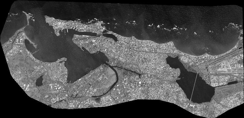
Quicklook
Copyright