TYPE:
SENSOR
LAYER:
DS_PHR1A_201911211057061_FR1_PX_E002N42_0423_01809
FORMAT:
DIMAP
RASTER:
image/jp2
General Information
Map Name
Geometric Processing Level
Radiometric Processing Level
BASIC
Image dimensions
Number of columns
37643
Number of rows
40272
Number of spectral bands
1
Dataset framing
Vertice
Longitude (DEG)
Latitude (DEG)
Row
Col
#1
2.172415648986794
43.03993723101727
#2
2.420736936128076
43.05049696620538
#3
2.420340678632952
42.85434911854304
#4
2.170498490416971
42.84334006857355
Dataset sources
PHR
Coordinate Reference System
Projected Coordinate System
Geocoding tables identification
EPSG(6.3)
Production
Production Date
2020-01-07T15:30:55.928
Job identification
4748038101-001
Dataset Producer Identification
AIRBUS DS GEO
Producer link
http://www.geo-airbusds.com
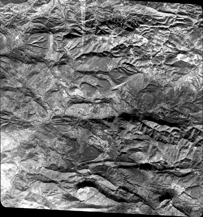
Quicklook
Copyright