TYPE:
SENSOR
LAYER:
DS_PHR1B_201911051537593_FR1_PX_W079S01_0716_00771
FORMAT:
DIMAP
RASTER:
image/tiff
General Information
Map Name
Geometric Processing Level
Radiometric Processing Level
BASIC
Image dimensions
Number of columns
28031
Number of rows
16796
Number of spectral bands
1
Dataset framing
Vertice
Longitude (DEG)
Latitude (DEG)
Row
Col
#1
-78.51186617812263
-0.3096231848417853
#2
-78.37558624584321
-0.3038672306775514
#3
-78.37491629553807
-0.3826471155051017
#4
-78.51227023889186
-0.3895955534096286
Dataset sources
PHR
Coordinate Reference System
Projected Coordinate System
Geocoding tables identification
EPSG(6.3)
Production
Production Date
2020-08-05T16:43:55.610
Job identification
5226203101-1
Dataset Producer Identification
AIRBUS DS GEO
Producer link
http://www.geo-airbusds.com
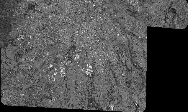
Quicklook
Copyright