TYPE:
SENSOR
LAYER:
DS_PHR1B_201911051537593_FR1_PX_W079S01_0716_00771
FORMAT:
DIMAP
RASTER:
image/tiff
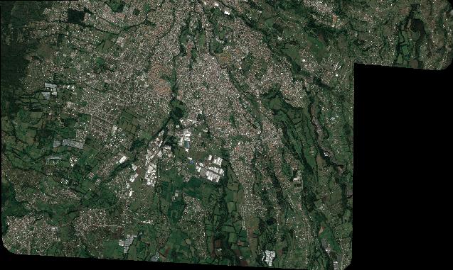
General Information
Map Name
Geometric Processing Level
Radiometric Processing Level
BASIC
Image dimensions
Number of columns
7009
Number of rows
4199
Number of spectral bands
4
Dataset framing
Vertice
Longitude (DEG)
Latitude (DEG)
Row
Col
#1
-78.51185898361082
-0.309629669947868
1
#2
-78.37556825388994
-0.3038725370053459
#3
-78.37489868881509
-0.3826381710707235
#4
-78.51226303328004
-0.3895875033438193
Dataset sources
PHR
Coordinate Reference System
Projected Coordinate System
Geocoding tables identification
EPSG(6.3)
Production
Production Date
2020-08-05T16:51:13.987
Job identification
5226203101-2
Dataset Producer Identification
AIRBUS DS GEO
Producer link
http://www.geo-airbusds.com
Quicklook
Copyright