TYPE:
SENSOR
LAYER:
DS_PHR1A_201910281408583_FR1_PX_W053N05_0407_01551
FORMAT:
DIMAP
RASTER:
image/jp2
General Information
Map Name
Geometric Processing Level
Radiometric Processing Level
BASIC
Image dimensions
Number of columns
9346
Number of rows
8587
Number of spectral bands
4
Dataset framing
Vertice
Longitude (DEG)
Latitude (DEG)
Row
Col
#1
-52.81886346795926
5.334904002643719
1
#2
-52.6370172103105
5.325553523199992
#3
-52.63673043507358
5.148571569544594
#4
-52.81906759071378
5.158830708240789
Dataset sources
PHR
Coordinate Reference System
Projected Coordinate System
Geocoding tables identification
EPSG(6.3)
Production
Production Date
2020-01-06T16:02:52.362
Job identification
4745613101-002
Dataset Producer Identification
AIRBUS DS GEO
Producer link
http://www.geo-airbusds.com
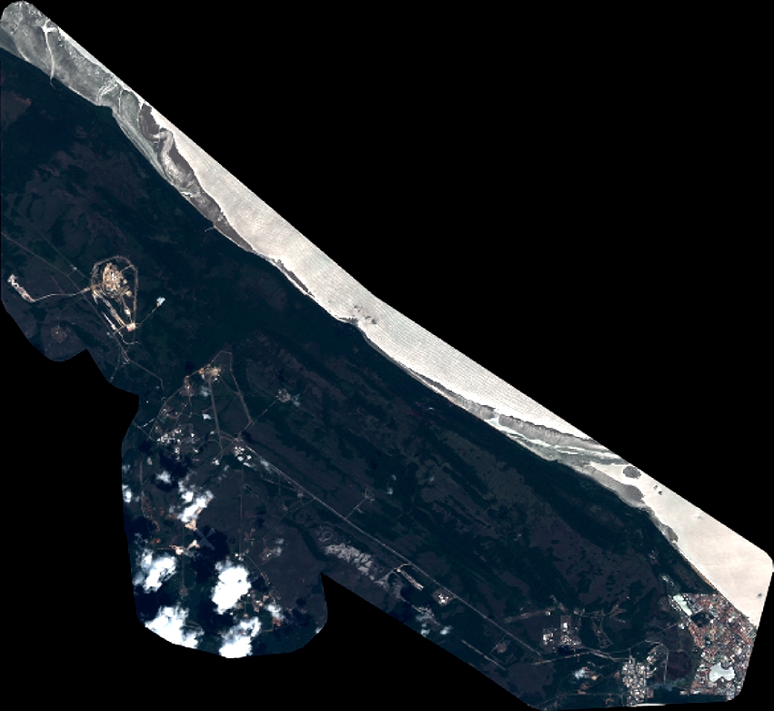
Quicklook
Copyright