TYPE:
ORTHO
LAYER:
DS_PHR1B_201909291102526_FR1_PX_E001N45_0823_01026
FORMAT:
DIMAP
RASTER:
image/tiff
General Information
Map Name
Geometric Processing Level
Radiometric Processing Level
BASIC
Image dimensions
Number of columns
5782
Number of rows
6104
Number of spectral bands
4
Dataset framing
Vertice
Longitude (DEG)
Latitude (DEG)
Row
Col
#1
1.493070387098076
45.57400820144281
1
#2
1.641210869884295
45.57586669130184
#3
1.643852665506661
45.4660301181076
#4
1.495999949686796
45.46417869336678
Dataset sources
PHR
Coordinate Reference System
Projected Coordinate System
Geocoding tables identification
EPSG(6.3)
Projected Coordinate System name
32631
Projected Coordinate System code
urn:ogc:def:crs:EPSG::32631
Geoposition
Upper - Left Map X Coordinate
382423
Upper - Left Map Y Coordinate
5047823
Image sampling
2 x 2
Production
Production Date
2020-09-04T04:24:01.200
Job identification
5300767101-2
Dataset Producer Identification
AIRBUS DS GEO
Producer link
http://www.geo-airbusds.com
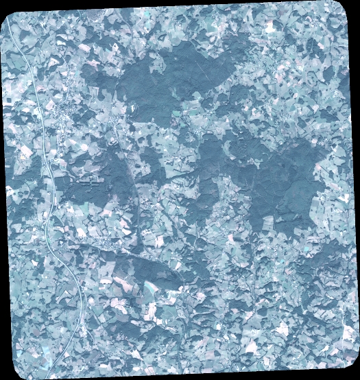
Quicklook
Copyright