TYPE:
SENSOR
LAYER:
DS_PHR1A_201909171153437_FR1_PX_W017N15_0624_01911
FORMAT:
DIMAP
RASTER:
image/jp2
General Information
Map Name
Geometric Processing Level
Radiometric Processing Level
LINEAR_STRETCH
Image dimensions
Number of columns
12708
Number of rows
42568
Number of spectral bands
1
Dataset framing
Vertice
Longitude (DEG)
Latitude (DEG)
Row
Col
#1
-16.5520158684429
16.06089395005754
#2
-16.48741378224264
16.06027211804483
#3
-16.48738284152191
15.86179464292882
#4
-16.55218757812771
15.86299201817579
Dataset sources
PHR
Coordinate Reference System
Projected Coordinate System
Geocoding tables identification
EPSG(6.3)
Production
Production Date
2019-09-18T10:14:51.127
Job identification
4511338101-002
Dataset Producer Identification
AIRBUS DS GEO
Producer link
http://www.geo-airbusds.com
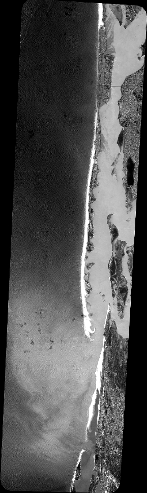
Quicklook
Copyright