TYPE:
SENSOR
LAYER:
DS_PHR1A_201909171153337_FR1_PX_W017N15_0624_01880
FORMAT:
DIMAP
RASTER:
image/jp2
General Information
Map Name
Geometric Processing Level
Radiometric Processing Level
LINEAR_STRETCH
Image dimensions
Number of columns
12766
Number of rows
41872
Number of spectral bands
1
Dataset framing
Vertice
Longitude (DEG)
Latitude (DEG)
Row
Col
#1
-16.55206494110504
16.06131944752407
#2
-16.48739852349452
16.05894270772326
#3
-16.48732139866286
15.86123785210554
#4
-16.55217301196541
15.86415519785151
Dataset sources
PHR
Coordinate Reference System
Projected Coordinate System
Geocoding tables identification
EPSG(6.3)
Production
Production Date
2019-09-18T10:14:42.906
Job identification
4511338101-001
Dataset Producer Identification
AIRBUS DS GEO
Producer link
http://www.geo-airbusds.com
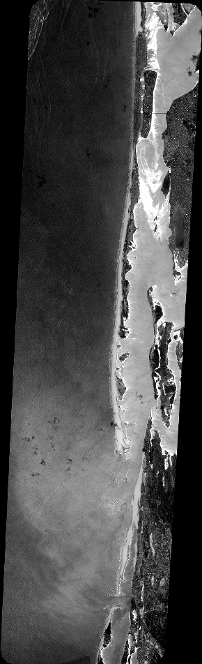
Quicklook
Copyright