TYPE:
SENSOR
LAYER:
DS_PHR1A_201909171153437_FR1_PX_W017N15_0624_01911
FORMAT:
DIMAP
RASTER:
image/jp2
General Information
Map Name
Geometric Processing Level
Radiometric Processing Level
LINEAR_STRETCH
Image dimensions
Number of columns
3177
Number of rows
10642
Number of spectral bands
4
Dataset framing
Vertice
Longitude (DEG)
Latitude (DEG)
Row
Col
#1
-16.55200140920989
16.06088376844813
1
#2
-16.48741443092597
16.0602621178303
#3
-16.48738357644561
15.86180029453348
#4
-16.55217304560363
15.86299729329416
Dataset sources
PHR
Coordinate Reference System
Projected Coordinate System
Geocoding tables identification
EPSG(6.3)
Production
Production Date
2019-09-18T10:14:49.282
Job identification
4511338101-005
Dataset Producer Identification
AIRBUS DS GEO
Producer link
http://www.geo-airbusds.com
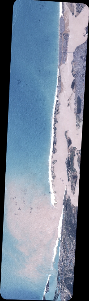
Quicklook
Copyright