TYPE:
SENSOR
LAYER:
DS_PHR1A_201909171153337_FR1_PX_W017N15_0624_01880
FORMAT:
DIMAP
RASTER:
image/jp2
General Information
Map Name
Geometric Processing Level
Radiometric Processing Level
LINEAR_STRETCH
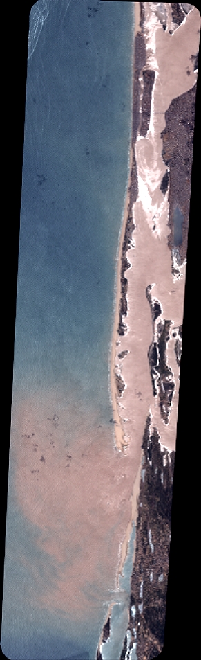
Image dimensions
Number of columns
3192
Number of rows
10468
Number of spectral bands
4
Dataset framing
Vertice
Longitude (DEG)
Latitude (DEG)
Row
Col
#1
-16.55205992766272
16.06131067604216
1
#2
-16.48739847971482
16.05893427965295
#3
-16.48731843383882
15.86124569528739
#4
-16.55216504339814
15.86416260038041
Dataset sources
PHR
Coordinate Reference System
Projected Coordinate System
Geocoding tables identification
EPSG(6.3)
Production
Production Date
2019-09-18T10:14:46.767
Job identification
4511338101-004
Dataset Producer Identification
AIRBUS DS GEO
Producer link
http://www.geo-airbusds.com
Quicklook
Copyright