TYPE:
SENSOR
LAYER:
DS_PHR1B_201909011252234_FR1_PX_W017N63_0324_01254
FORMAT:
DIMAP
RASTER:
image/jp2
General Information
Map Name
Geometric Processing Level
Radiometric Processing Level
BASIC
Image dimensions
Number of columns
6896
Number of rows
6917
Number of spectral bands
4
Dataset framing
Vertice
Longitude (DEG)
Latitude (DEG)
Row
Col
#1
-16.90948772046395
64.06127876260574
1
#2
-16.62028017499346
64.06257726298369
#3
-16.6180559103429
63.9367517406109
#4
-16.90735900210835
63.93568057008754
Dataset sources
PHR
Coordinate Reference System
Projected Coordinate System
Geocoding tables identification
EPSG(6.3)
Production
Production Date
2019-09-18T09:10:01.315
Job identification
4511271101-003
Dataset Producer Identification
AIRBUS DS GEO
Producer link
http://www.geo-airbusds.com
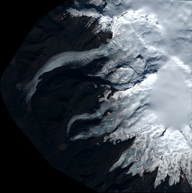
Quicklook
Copyright