TYPE:
SENSOR
LAYER:
DS_PHR1B_201908311405149_FR1_PX_W053N04_0923_01117
FORMAT:
DIMAP
RASTER:
image/jp2
General Information
Map Name
Geometric Processing Level
Radiometric Processing Level
BASIC
Image dimensions
Number of columns
39979
Number of rows
24543
Number of spectral bands
1
Dataset framing
Vertice
Longitude (DEG)
Latitude (DEG)
Row
Col
#1
-52.42545153597721
5.002466607888644
#2
-52.23918616150833
4.998985699430841
#3
-52.23912094107514
4.881286824027983
#4
-52.425533170975
4.885088471965482
Dataset sources
PHR
Coordinate Reference System
Projected Coordinate System
Geocoding tables identification
EPSG(6.3)
Production
Production Date
2020-01-28T11:09:37.058
Job identification
4781409101-001
Dataset Producer Identification
AIRBUS DS GEO
Producer link
http://www.geo-airbusds.com
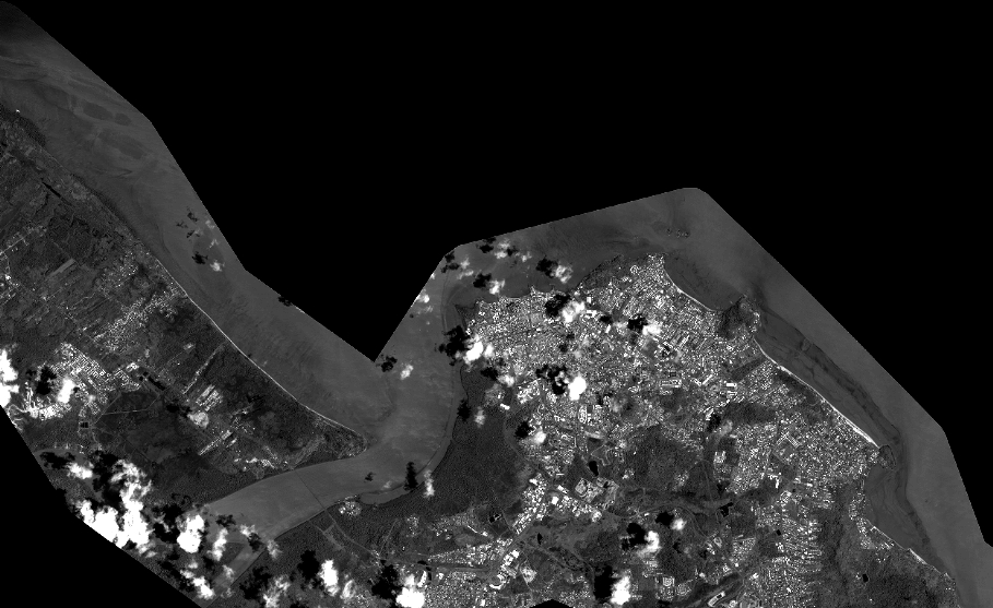
Quicklook
Copyright