TYPE:
ORTHO
LAYER:
DS_PHR1B_201907251109015_FR1_PX_E002N50_1102_02392
FORMAT:
DIMAP
RASTER:
image/tiff
General Information
Map Name
Geometric Processing Level
Radiometric Processing Level
BASIC
Image dimensions
Number of columns
11562
Number of rows
16144
Number of spectral bands
4
Dataset framing
Vertice
Longitude (DEG)
Latitude (DEG)
Row
Col
#1
2.672743720477767
49.93869739001562
1
#2
2.994557991846451
49.93913494820147
#3
2.994588786169233
49.64906632580367
#4
2.674595522391776
49.64863109194948
Dataset sources
PHR
Coordinate Reference System
Projected Coordinate System
Geocoding tables identification
EPSG(6.3)
Projected Coordinate System name
2154
Projected Coordinate System code
urn:ogc:def:crs:EPSG::2154
Geoposition
Upper - Left Map X Coordinate
676487
Upper - Left Map Y Coordinate
6982279
Image sampling
2 x 2
Production
Production Date
2020-10-14T20:49:57.006
Job identification
5412642101-2
Dataset Producer Identification
AIRBUS DS GEO
Producer link
http://www.geo-airbusds.com
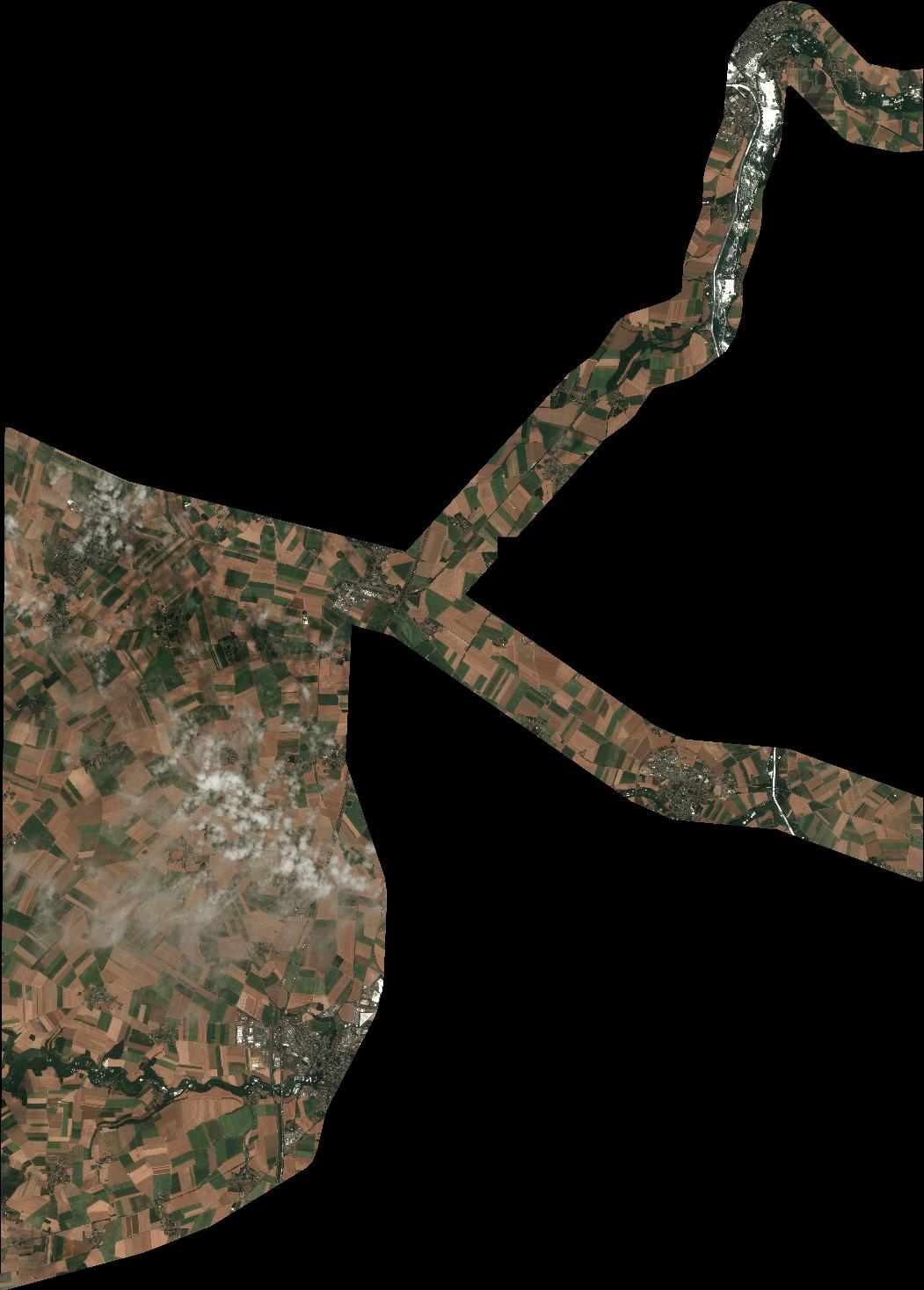
Quicklook
Copyright