TYPE:
ORTHO
LAYER:
DS_PHR1B_201907251108593_FR1_PX_E002N50_0905_00503
FORMAT:
DIMAP
RASTER:
image/tiff
General Information
Map Name
Geometric Processing Level
Radiometric Processing Level
BASIC
Image dimensions
Number of columns
3173
Number of rows
3236
Number of spectral bands
4
Dataset framing
Vertice
Longitude (DEG)
Latitude (DEG)
Row
Col
#1
2.674890163672614
50.12146480719809
1
#2
2.763503790172744
50.12166741305349
#3
2.763774155663647
50.06356056786819
#4
2.675261831420043
50.06335817836459
Dataset sources
PHR
Coordinate Reference System
Projected Coordinate System
Geocoding tables identification
EPSG(6.3)
Projected Coordinate System name
2154
Projected Coordinate System code
urn:ogc:def:crs:EPSG::2154
Geoposition
Upper - Left Map X Coordinate
676725
Upper - Left Map Y Coordinate
7002627
Image sampling
2 x 2
Production
Production Date
2020-10-14T20:51:43.582
Job identification
5412641101-2
Dataset Producer Identification
AIRBUS DS GEO
Producer link
http://www.geo-airbusds.com
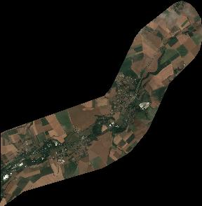
Quicklook
Copyright