TYPE:
ORTHO
LAYER:
DS_PHR1A_201907141056214_FR1_PX_E001N45_0218_02854
FORMAT:
DIMAP
RASTER:
image/tiff
General Information
Map Name
Geometric Processing Level
Radiometric Processing Level
BASIC
Image dimensions
Number of columns
10888
Number of rows
17336
Number of spectral bands
4
Dataset framing
Vertice
Longitude (DEG)
Latitude (DEG)
Row
Col
#1
0.9716805075755368
45.8665489265079
1
#2
1.252275193184228
45.87123666980169
#3
1.262110858532891
45.55911455642423
#4
0.9830939923588736
45.55445328573613
Dataset sources
PHR
Coordinate Reference System
Projected Coordinate System
Geocoding tables identification
EPSG(6.3)
Projected Coordinate System name
2154
Projected Coordinate System code
urn:ogc:def:crs:EPSG::2154
Geoposition
Upper - Left Map X Coordinate
542659
Upper - Left Map Y Coordinate
6531675
Image sampling
2 x 2
Production
Production Date
2020-10-14T21:48:04.872
Job identification
5412640101-2
Dataset Producer Identification
AIRBUS DS GEO
Producer link
http://www.geo-airbusds.com
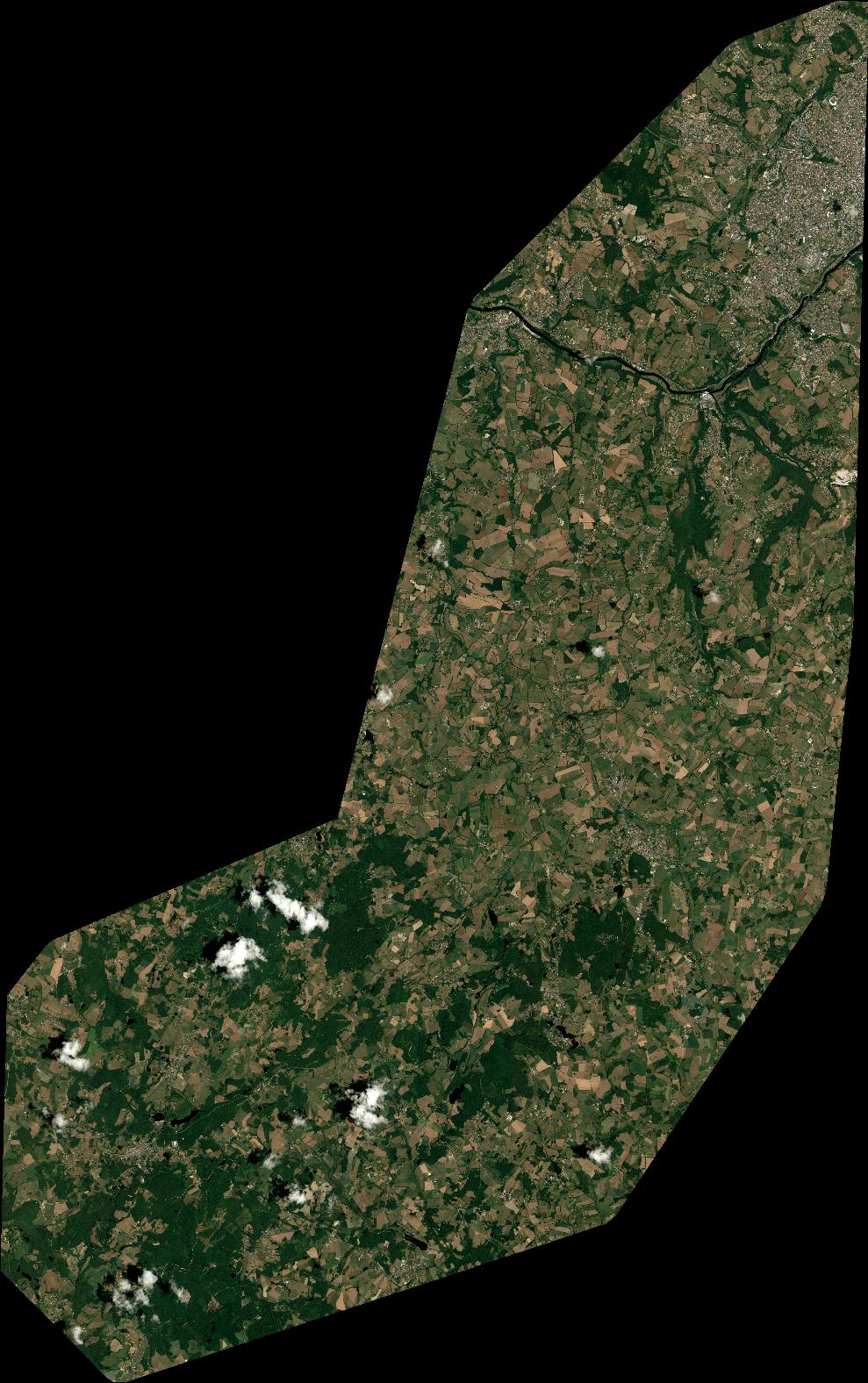
Quicklook
Copyright