TYPE:
SENSOR
LAYER:
DS_PHR1B_201907101853483_FR1_PX_W118N35_0418_03953
FORMAT:
DIMAP
RASTER:
image/jp2
General Information
Map Name
Geometric Processing Level
Radiometric Processing Level
BASIC
Image dimensions
Number of columns
38828
Number of rows
88420
Number of spectral bands
1
Dataset framing
Vertice
Longitude (DEG)
Latitude (DEG)
Row
Col
#1
-117.8151625740504
35.94670744056816
#2
-117.5740156725965
35.9596375291459
#3
-117.5698603765756
35.53250365359966
#4
-117.8140016343594
35.52306399781322
Dataset sources
PHR
Coordinate Reference System
Projected Coordinate System
Geocoding tables identification
EPSG(6.3)
Production
Production Date
2019-09-20T10:11:29.620
Job identification
4517058101-001
Dataset Producer Identification
AIRBUS DS GEO
Producer link
http://www.geo-airbusds.com
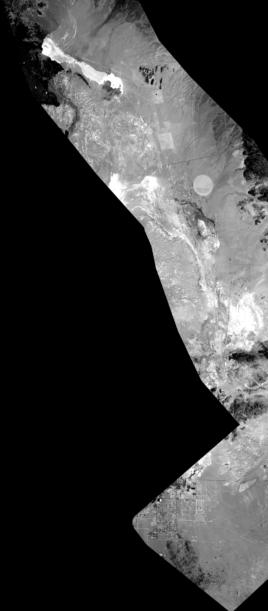
Quicklook
Copyright