TYPE:
SENSOR
LAYER:
DS_PHR1B_201907101853483_FR1_PX_W118N35_0418_03953
FORMAT:
DIMAP
RASTER:
image/jp2
General Information
Map Name
Geometric Processing Level
Radiometric Processing Level
BASIC
Image dimensions
Number of columns
9707
Number of rows
22105
Number of spectral bands
4
Dataset framing
Vertice
Longitude (DEG)
Latitude (DEG)
Row
Col
#1
-117.8151538990221
35.94670097785905
1
#2
-117.5740254744523
35.95963072976281
#3
-117.5698706315949
35.53250574432666
#4
-117.8139932616743
35.52306598206849
Dataset sources
PHR
Coordinate Reference System
Projected Coordinate System
Geocoding tables identification
EPSG(6.3)
Production
Production Date
2019-09-20T10:11:02.294
Job identification
4517058101-002
Dataset Producer Identification
AIRBUS DS GEO
Producer link
http://www.geo-airbusds.com
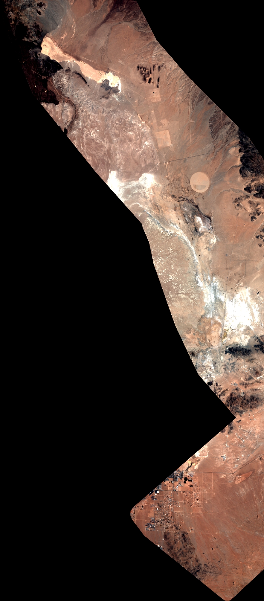
Quicklook
Copyright