TYPE:
SENSOR
LAYER:
DS_PHR1B_201907101853240_FR1_PX_W118N35_0619_03531
FORMAT:
DIMAP
RASTER:
image/jp2
General Information
Map Name
Geometric Processing Level
Radiometric Processing Level
BASIC
Image dimensions
Number of columns
40000
Number of rows
78843
Number of spectral bands
1
Dataset framing
Vertice
Longitude (DEG)
Latitude (DEG)
Row
Col
#1
-117.6270492686463
35.89251342685799
#2
-117.3857736530063
35.88920300010903
#3
-117.3842833728465
35.51837873443506
#4
-117.6283413823685
35.5254753900641
Dataset sources
PHR
Coordinate Reference System
Projected Coordinate System
Geocoding tables identification
EPSG(6.3)
Production
Production Date
2019-09-20T10:11:28.281
Job identification
4517059101-001
Dataset Producer Identification
AIRBUS DS GEO
Producer link
http://www.geo-airbusds.com
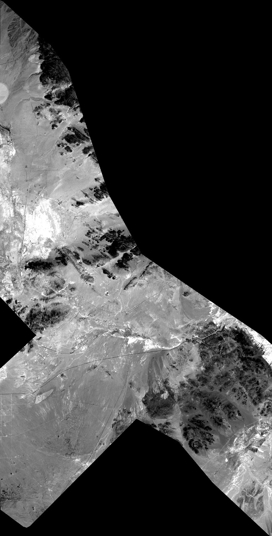
Quicklook
Copyright