TYPE:
SENSOR
LAYER:
DS_PHR1B_201907101853100_FR1_PX_W118N35_0819_01509
FORMAT:
DIMAP
RASTER:
image/jp2
General Information
Map Name
Geometric Processing Level
Radiometric Processing Level
BASIC
Image dimensions
Number of columns
6064
Number of rows
8325
Number of spectral bands
4
Dataset framing
Vertice
Longitude (DEG)
Latitude (DEG)
Row
Col
#1
-117.4407114897329
35.68289585532437
1
#2
-117.291621978257
35.67375755806489
#3
-117.2927147486924
35.50990809166659
#4
-117.4415347134148
35.51957401835021
Dataset sources
PHR
Coordinate Reference System
Projected Coordinate System
Geocoding tables identification
EPSG(6.3)
Production
Production Date
2019-09-20T10:05:51.768
Job identification
4517060101-002
Dataset Producer Identification
AIRBUS DS GEO
Producer link
http://www.geo-airbusds.com
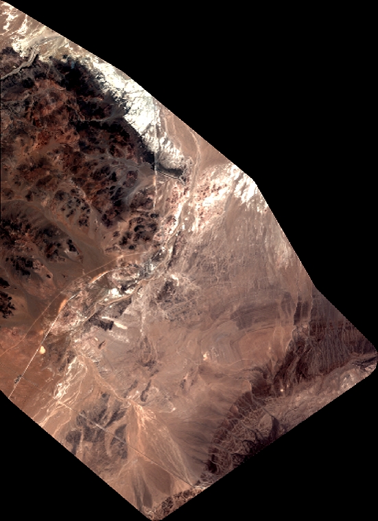
Quicklook
Copyright